


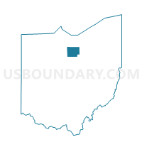
WILLARD 4-B, Huron County, Ohio
About
Outline

Summary
| Unique Area Identifier | 648022 |
| Name | WILLARD 4-B |
| County | Huron County |
| State | Ohio |
| Area (square miles) | 0.50 |
| Land Area (square miles) | 0.50 |
| Water Area (square miles) | 0.00 |
| % of Land Area | 100.00 |
| % of Water Area | 0.00 |
| Latitude of the Internal Point | 41.04739490 |
| Longtitude of the Internal Point | -82.73581010 |
Maps


Graphs
Select a template below for downloading or customizing gragh for WILLARD 4-B, Huron County, Ohio


Neighbors
Neighoring Voting District (by Name) Neighboring Voting District on the Map
- NEW HAVEN TWP 2, Huron County, OH
- RICHMOND TWP, Huron County, OH
- WILLARD 1, Huron County, OH
- WILLARD 3-B, Huron County, OH
- WILLARD 4-A, Huron County, OH
Top 10 Neighboring County Subdivision (by Population) Neighboring County Subdivision on the Map
- Willard city, Huron County, OH (6,236)
- New Haven township, Huron County, OH (2,621)
- Richmond township, Huron County, OH (1,102)